- Home
- /
- About
From PIXELS ANALYSIS

to INTELLIGENT CALCULATION of
STATISTICS
GEOCS Backend API
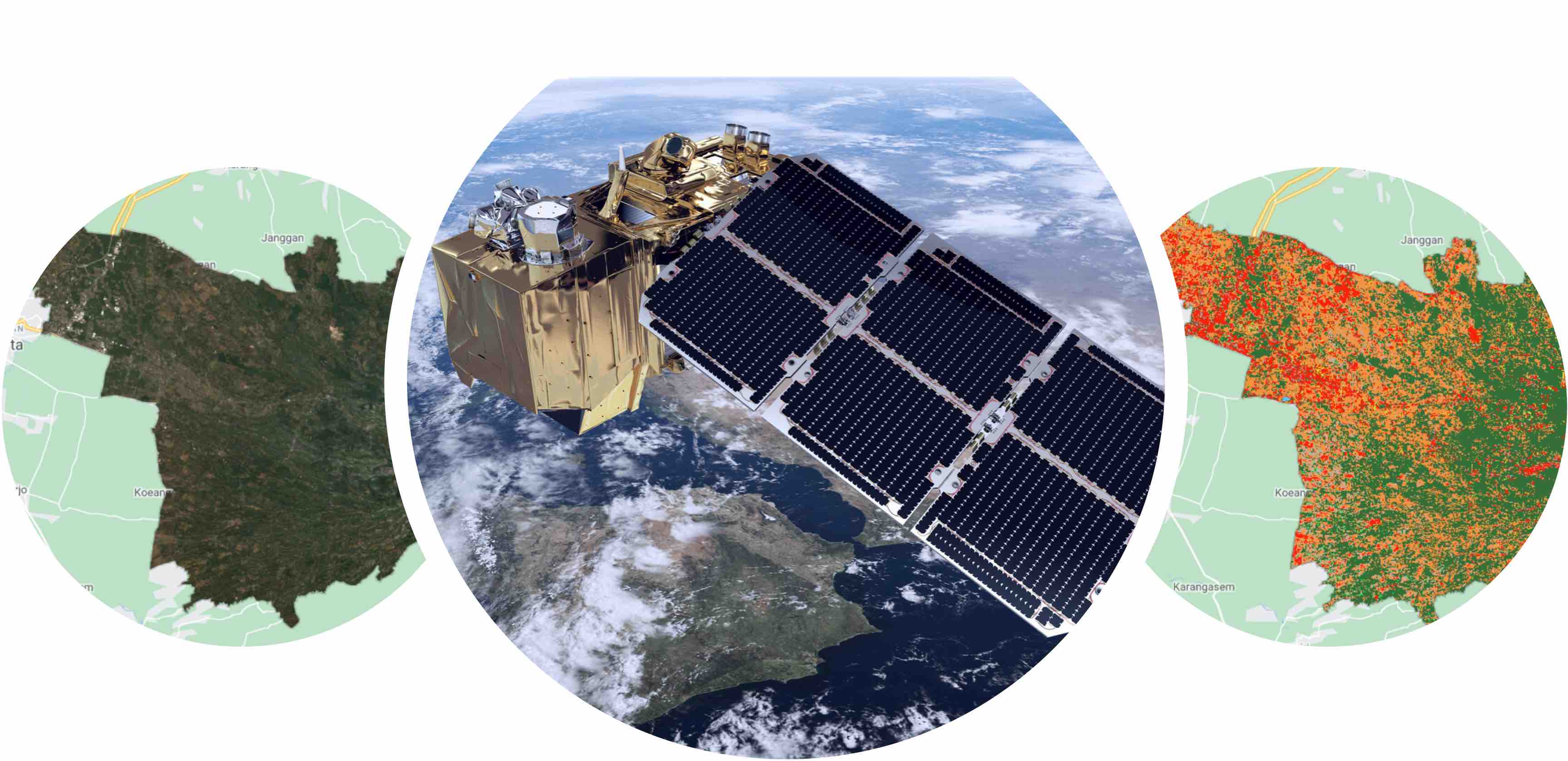
The growing development of satellite image data can be used to analyze land use in the area.
This can be used as an indicator in seeing the economic growth of a region.
Therefore, a GEOCS
(Gate of Earth Observation for Calculate Statistics)
system was created which aims to analyze satellite image data automatically and calculate capital stock.
The system you see here is part of the backend of GEOCS. You can perform create, read, update, and delete commands from the GEOCS Frontend system.
The system you see here is part of the backend of GEOCS. You can perform create, read, update, and delete commands from the GEOCS Frontend system.